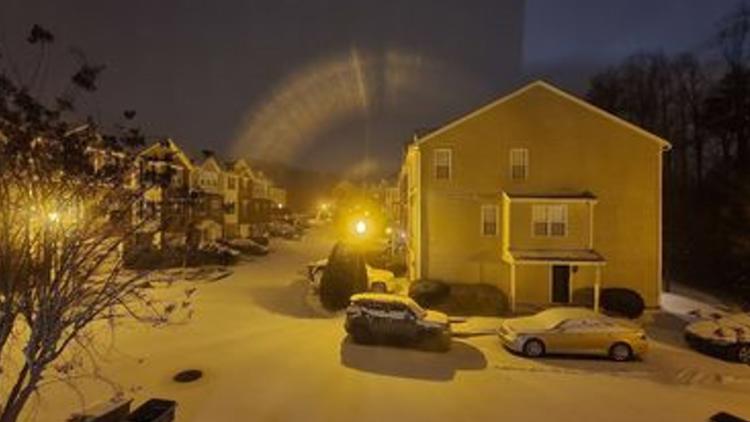
GREENSBORO, N.C. — Update: Check out our new winter weather blog for the latest up-to-date information.
WFMY News 2’s Weather Team is tracking snow showers in the Triad.
Many folks saw some snow showers Thursday night, but now we have even more in the Piedmont Triad and beyond in North Carolina.
Get it first here: Closings & Delays
Subscribe to our YouTube channel to watch our live team coverage.
Share your weather photos and videos by texting them to 336-379-5775 and make sure to include your name and location.
FRIDAY, JANUARY 21, 2022
11:47 p.m. Winston-Salem Transit Authority experiencing telephone outage.
Due to the outage, all WSTA passengers must call (336) 251-1609 to get transportation updates on fixed-route service.
Buses are at the Transit Center waiting to pull out. Officials said passengers should expect service delays due to wintry weather conditions.
Travel delays are expected for Saturday.
11:45 p.m. Due to slick road conditions, Greensboro Transit Authority ended service early Friday night with the last departure from the Depot at 10:30 p.m. using snow routes. HEAT also ended at 10:30 p.m. Saturday, GTA will begin service at 9 a.m. using snow routes.
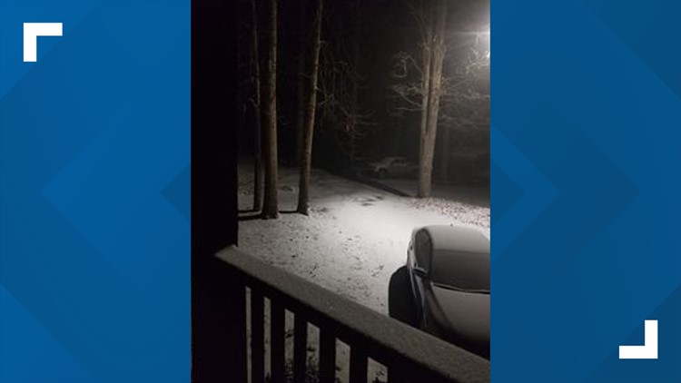
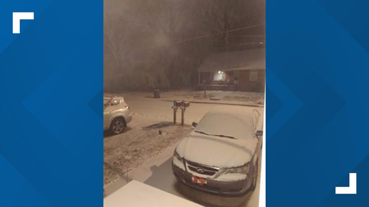
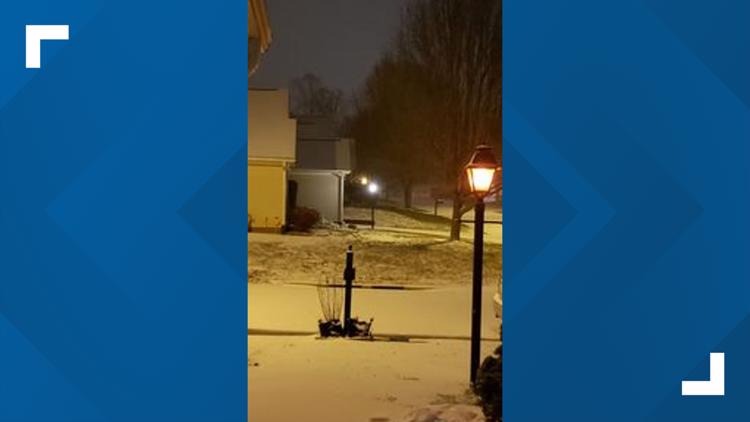
11:12 p.m. WFMY viewers share photos of snowfall in the Triad
WFMY viewers share snow photos
10:56 p.m. Back edge of snow is pushing into Forsyth County.
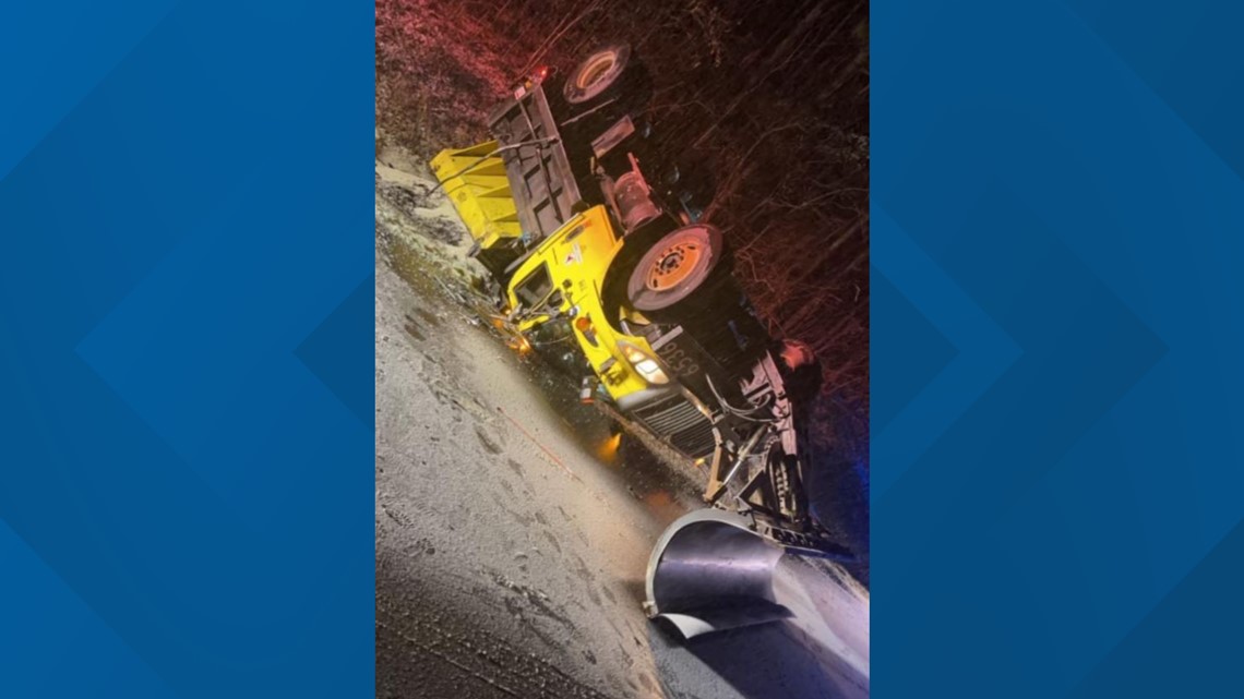
10:30 p.m. - A plow truck overturned in Carthage. A WFMY News 2 viewer sent us this photo of the plow truck. This is just west of Carthage on Highway 24/27 in Moore County. The crash occurred around 6:15 p.m. The plow truck driver had minor injuries.

10:25 p.m. - Tim Buckley gives an update on snow conditions and how much we should get.
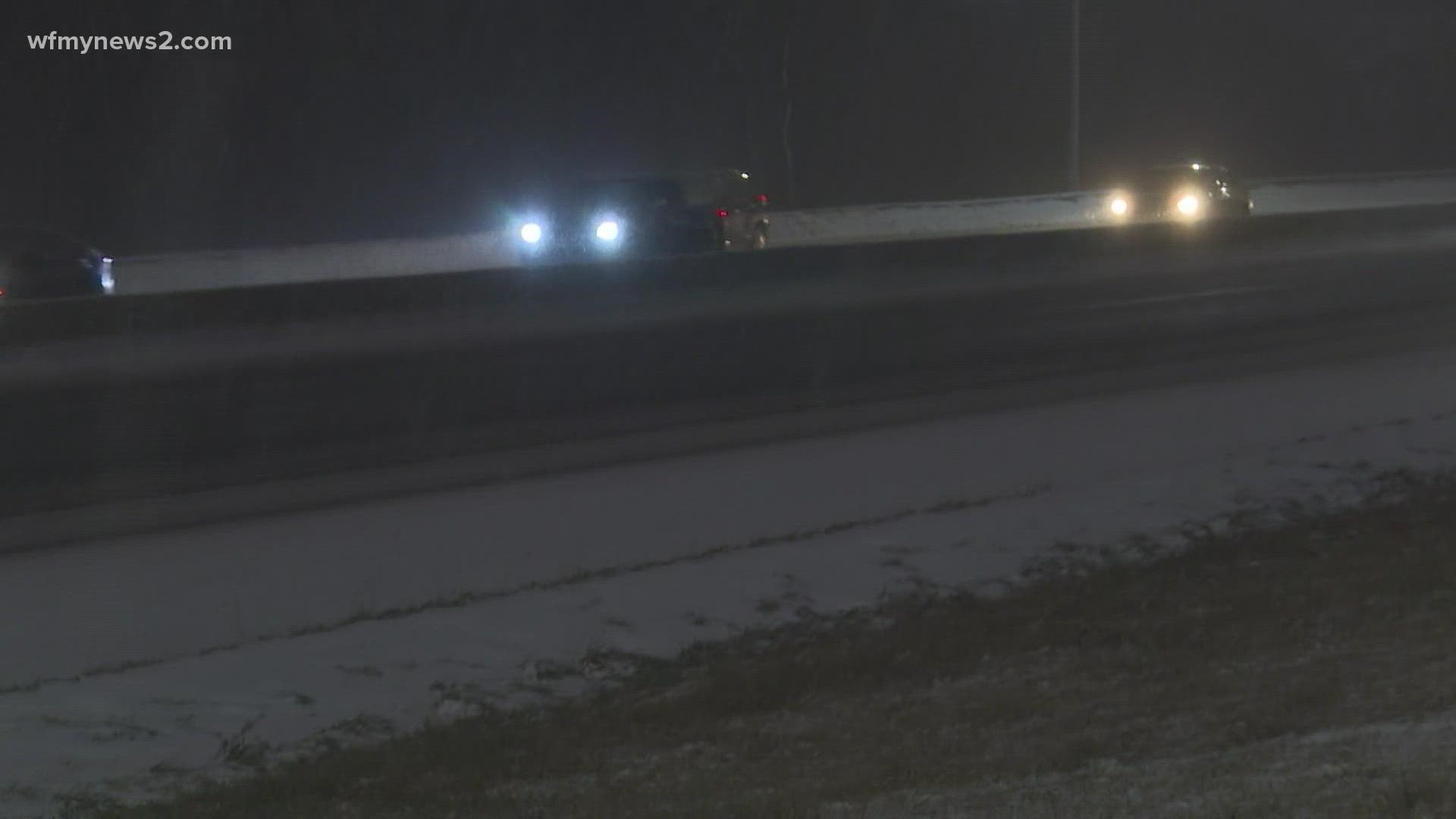
10:19 p.m. - Road conditions update: this is I-40 heading west near mile marker 281 in the Triangle/Raleigh area.
10:15 p.m. - Check out all the powdery snow on Spring Garden Street! It's still coming down.
10:09 p.m. Randolph EMS/fire reporting multiple crashes all over the county.
10:05 p.m. - It's snowing very hard right now in the Triad. The snow will continue through at least 2 a.m.
10:05 p.m. Deputy Chief Dwayne Church with Greensboro Fire says at least 5 crashes in Greensboro & Guilford County
- McKnight Mill Road
- Yanceyville Street
- McConnell and Franklin Boulevard
- I-85 near 62, overturned car
- I-73 at 220
No accidents were reported by Burlington Fire.
9:57 p.m. Half an inch of snow in Greensboro.
9:49 p.m. WFMY's Grace Holland gives us a look at I-40 headed towards Gate City Boulevard. Snow could be seen accumulating on roads.
9:43 p.m. Still hours to go before snowfall comes to an end.
9:39 p.m. A snowy weather garden could be seen at WFMY.
9:28 p.m. WFMY's Christian Morgan tweeted this photo of snowfall shared by Dwayne Young.
9:35 p.m. - The NCDOT really wants you to stay off the road and they even put together this clever tweet to help remind you to stay at home! It's a throwback to Vanilla Ice's "Ice Ice Baby."
9:30 p.m. - Check out the snow coming down in Archdale.
9:27 p.m. - Snow sticking in Greensboro!
9:07 p.m. WFMY Meteorologist Tim Buckley holds a Q&A chat as snows starts sticking in the Triad
8:19 p.m. WFMY's Tim Buckley gives an update as snow starts to fall and stick in Greensboro
7:45 p.m. Light snow can be seen sticking to cars in Greensboro.
7:40 p.m. WFMY Meteorologist Tim Buckley says the chance of snow will linger through the late evening.

