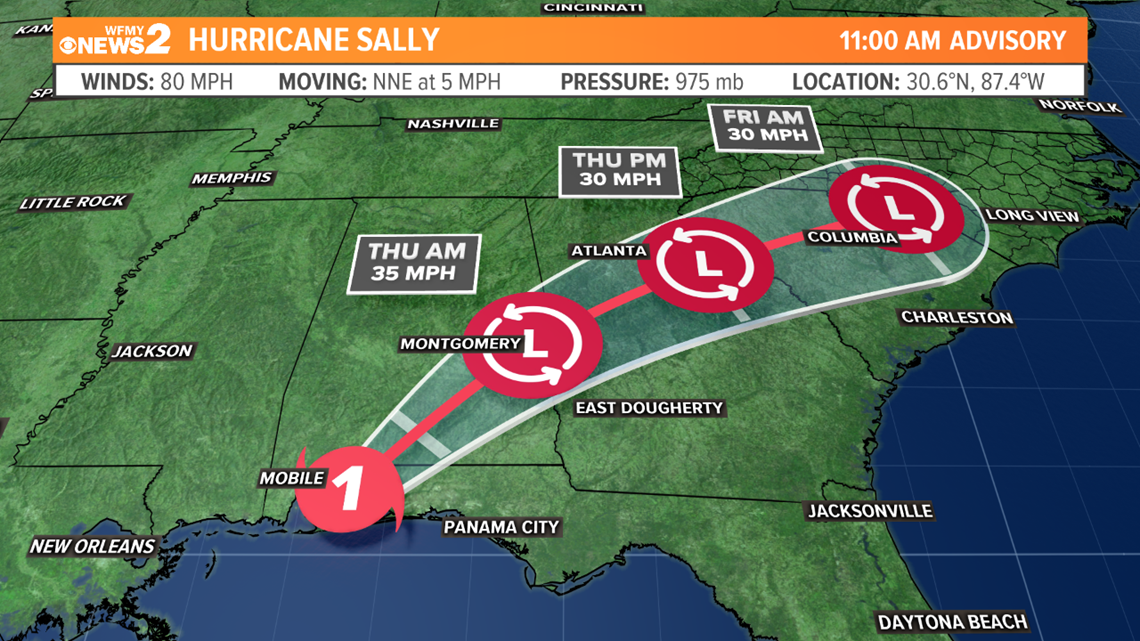
After making landfall over Gulf Shores, Alabama this morning as a category 2 hurricane with winds of 105 mph, Sally has weakened to a category 1 hurricane with winds of 80 mph. Sally is moving a little faster to the north-northeast at 5 mph. Sally will continue to weaken this afternoon and tonight. It will likely become a tropical storms late tonight or Thursday as it continues a northeasterly track.


With the expected slower movement of the hurricane, very heavy rain and severe flooding is likely as Sally slowly moves inland. Hurricane forecast models suggest some areas may receive over 20 inches of rain along the Gulf Coast..
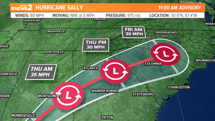
The current forecast track takes the remnant low through Georgia, Northern South Carolina, and now possibly through the North Carolina Sandhills by Thursday and Friday. This new forecast track is farther north into North Carolina. This may bring an increased chance of heavy tropical rain to our area through Friday evening. The speed and track at which the remnant low moves will determine when rain moves into the Piedmont, when it moves out, and how much rain we get. Some forecast models indicate we could get several inches soaking rain. Pockets of flash flooding are possible.
RELATED: Sally's impacts on the Triad


