
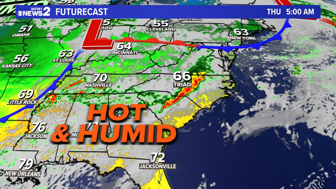
GREENSBORO, N.C. — A busy week of weather isn't over yet. Wednesday night into Thursday will bring a higher risk of a few severe storms for the Greensboro, NC area. Keep an eye on the radar by downloading the WFMY News 2 app. Here's the setup, timeline, and how bad the weather will be.
Timeline for storms:
- Mostly after 4 p.m. Wednesday -- A few scattered storms are possible. The bigger storm risk will come overnight into early Thursday morning.
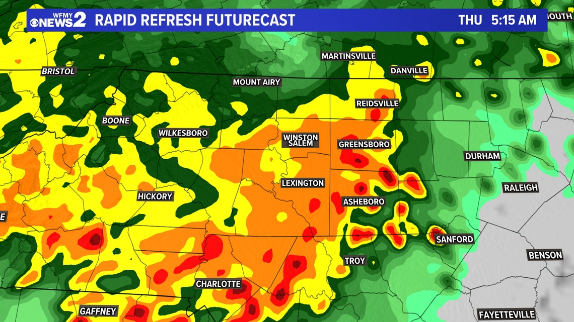
- In the 12-5 a.m. window Thursday -- A round of scattered rain, which could be heavy or torrential, arrives. Some strong to severe thunderstorms are possible too.
- Noon Thursday -- The biggest chunk of rain and storms will move out.
- Thursday evening -- A few storms are still possible as a cold front rolls through.

How bad will storms be?
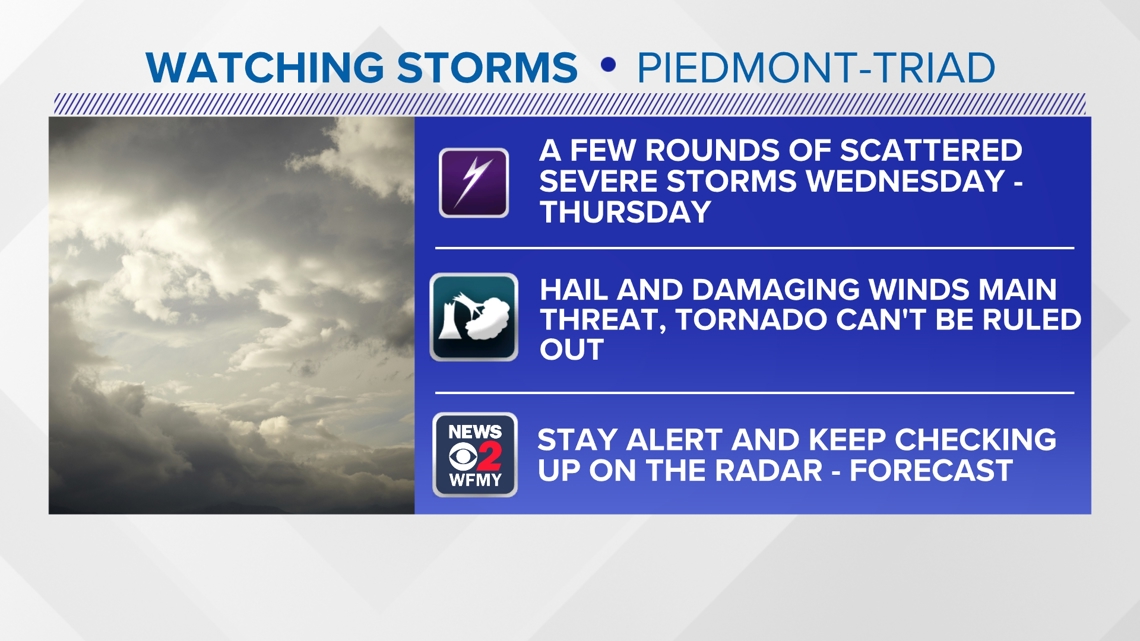
The severe weather risk for the Piedmont Triad is a Level 2 -- slightly higher than in recent days.
Damaging wind will still be our main concern, but the strongest storms could also have hail, too.
High winds could bring down trees or power lines, potentially causing more power problems in our area.

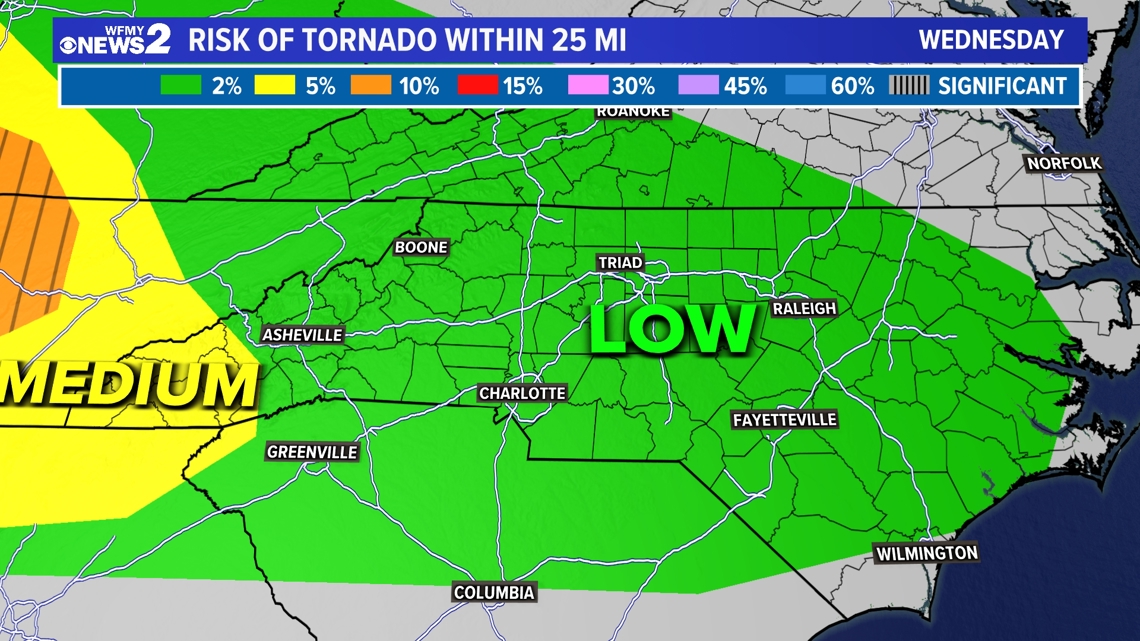
Is there a tornado threat?
We'll have to monitor a low risk of an isolated tornado or two across the area as well through early tomorrow morning.

Make sure you can hear warnings on your phone while you're sleeping. You can download our free WFMY News 2 App and track storms on our interactive radar.

When will it clear up?
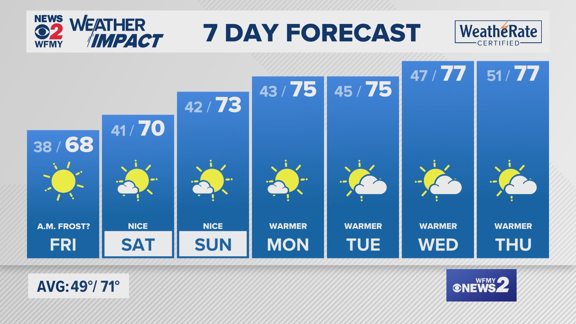
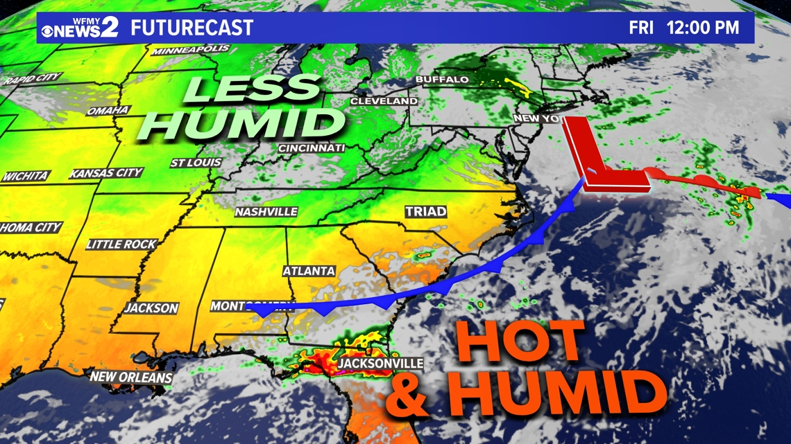
After the storms roll through, a shower or two will still be possible Friday afternoon. But for the most part, we'll stay dry as cooler and less humid air starts to build in for the upcoming weekend.
On Friday, high temperatures will be back in the low to mid-70s, with beautiful weather for the weekend.
Saturday and Sunday will be less humid and nice! The mornings will be cool with upper 40s and low 50s. The afternoons will be comfy with low to mid-70s.

MORE WAYS TO GET WFMY NEWS 2
Subscribe to our daily newsletter Let’s Get 2 It!
Download the WFMY News 2 APP from your Apple or Google Play store.
ADD THE WFMY+ APP TO YOUR STREAMING DEVICE
ROKU: Add the channel from the ROKU store or by searching for WFMY.
Amazon Fire TV: Search for WFMY to find the free app to add to your account. You can also add the app directly to your Fire TV through your Amazon account.
RELATED: Daily forecast