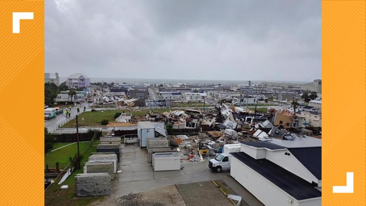
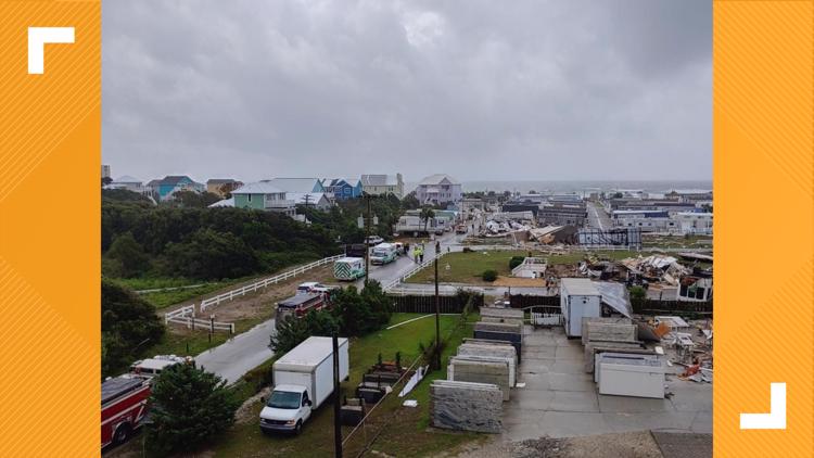
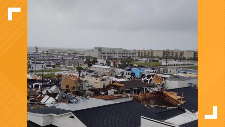
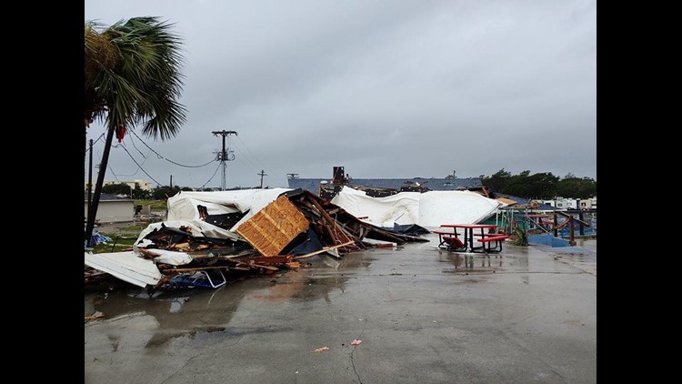
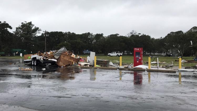
RALEIGH, N.C. — The National Weather Service confirmed Monday morning that a strong tornado touched down in Emerald Isle on Sept. 5 just as Hurricane Dorian was nearing the North Carolina coast.
According to the National Weather Service, a waterspout was spotted off the Bogue Inlet Pier around 9 a.m. The weather service tweeted an image of the waterspout. The waterspout then moved onto Emerald Isle, according to officials.
According to the NWS, an EF-2 twister that began as a waterspout made it to land and then continued on a 200-yard-wide, 13-mile-long path both on and off land over the next 29 minutes. The tornado left behind a trail of damage in its wake.
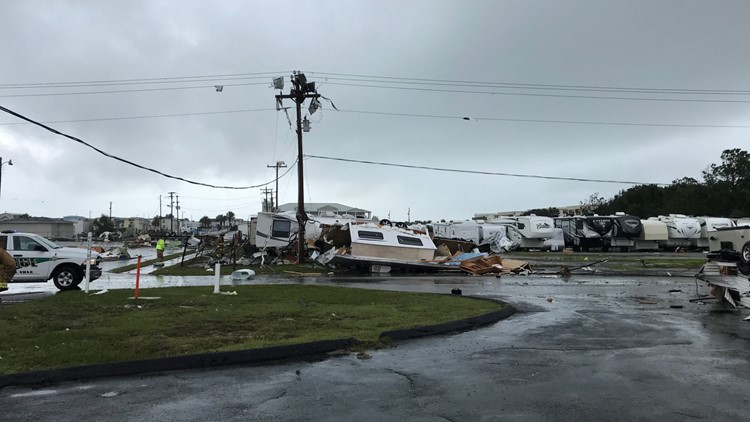
The tornado began as a waterspout and then came onshore as a tornado near Janell Lane, Boardwalk RV Park and Salty Pirate Water Park, the NWS said.
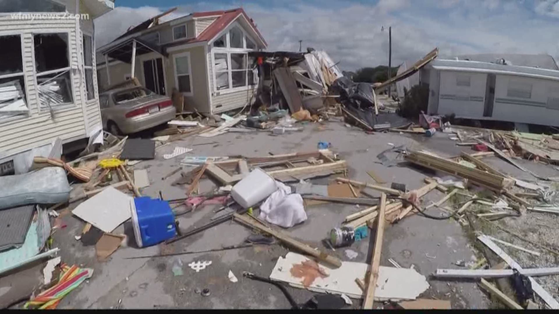
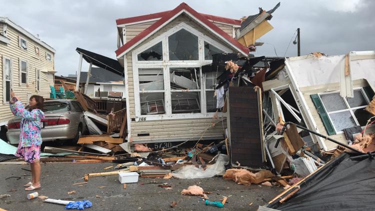
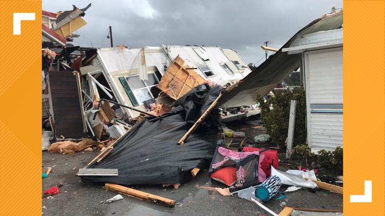
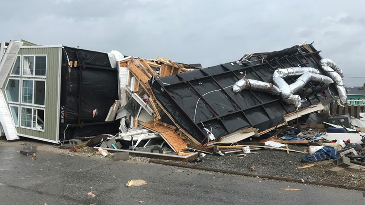
More than a dozen campers were knocked on their side, their metal skin mangled and twisted. Some were flipped upside-down, with their tires aimed toward the sky.
RELATED: 'It's an Absolute Miracle' | Homes Destroyed After Water Spout Comes Ashore in Emerald Isle
RELATED: Tornado Slams Emerald Isle
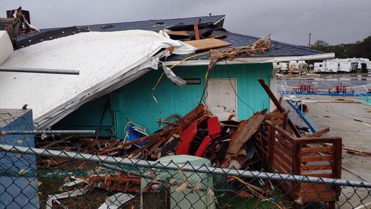
PHOTOS: Tornado Damage in Emerald Isle
NWS reports claim that some of the RV-style homes were thrown and rolled more than 30 feet and that the ground anchors that strapped the homes down were ripped out of the ground by the 115 mph winds.
After hitting the RV park, the path continued to the north-northwest where damage was reported at the water park and then at homes across Highway 58. The tornado then moved back over the Bogue Sound and once again became a waterspout, according to the NWS.
Based on videos from the public, the NWS determined that the “funnel cloud returned to the surface in the form of a waterspout as it crossed over the Lower White Oak River” then “continued for several minutes northwestward up the White Oak River before once again coming ashore as a tornado and causing major roof damage” to a home on a nearby road and then minor damage to other structures in the area.
“The tornado then tracked through mostly forested and undeveloped land for approximately six miles before heavily damaging a farm and residential property on Kidd Lane in Maysville,” according to the NWS report. “Based on eyewitness accounts, the funnel cloud may have persisted for several more miles, but the lack of identifiable tornado damage indicates that the end of the tornado path was this location on Kidd Lane in southern Maysville.”
No injuries and no fatalities were reported.

