GREENSBORO, NC -- Chris continues to spin off the North Carolina coast, and is strengthening bit by bit. The storm is expected to become a hurricane on Tuesday.
As of Monday evening, Chris remained about 200 miles south of Cape Hatteras. Max sustained winds are around 70 mph and the storm is nearly stationary off the coast.
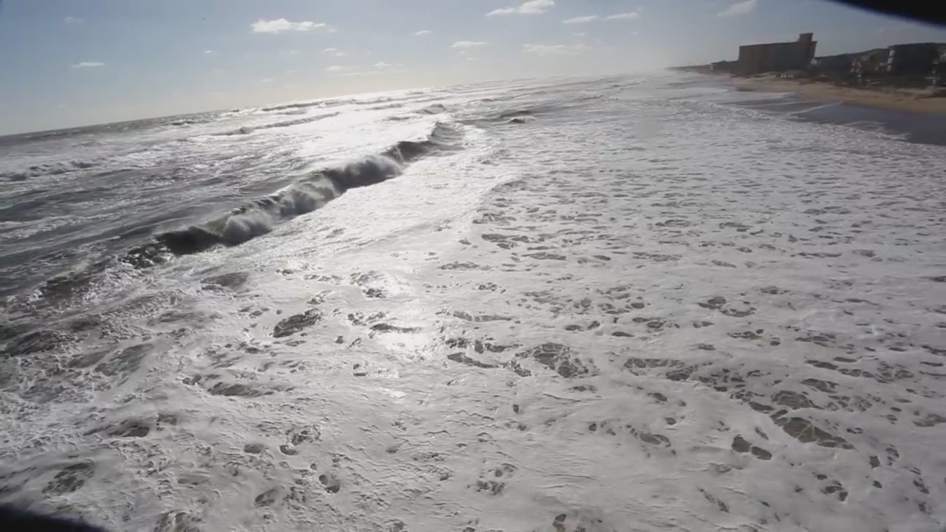
The main issues for the NC coast from Chris will be rough surf and and rip currents in the water through midweek.
It will be off the coast for the next couple of days. Since the system is over the warm Gulf Stream waters, it will likely strengthen to a hurricane in the next 24 hours or so.
Right now, the National Hurricane Center forecast keeps the storm close to the NC coast through Tuesday, before it gets picked up and taken out to sea on Wednesday.
All of our computer forecast models keep the high winds and heavy rain offshore.
RELATED | New App To Detect Rip Currents

