GREENSBORO (WFMY) - As we look toward what could be a wintry weekend, we're exploring how often does snow serve as an early Christmas present for Greensboro?
The answer is not often. December is the fourth-snowiest month locally. Historically, we've seen more snow in March at the end of winter, as opposed to December when winter begins.
"We just don't get enough cold air in December," WFMY News 2 meteorologist Eric Chilton said. "Our high temperatures in January are typically in the 40s and 20s. In December, you'll see more 50s and 30s."
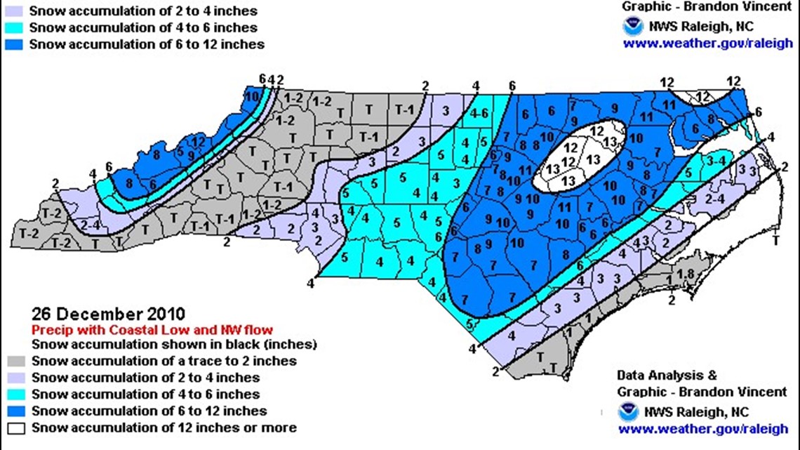
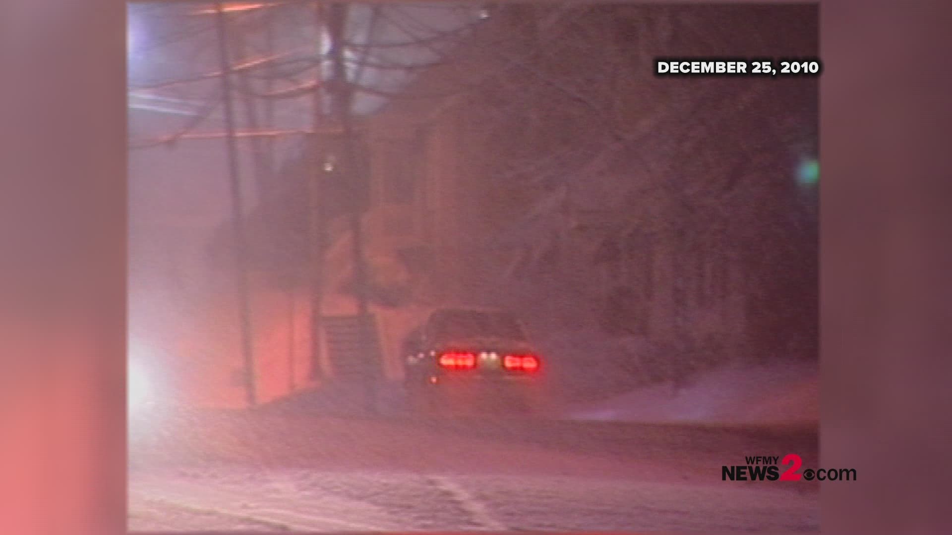
Most recently, we had a white Christmas (and Boxing Day) in 2010, when several inches fell in Greensboro. Some segments of eastern North Carolina got pounded.


When you look at the snowfall records, most the years you see mentioned are from long ago.
On Dec. 17, 1930, Greensboro recorded 14.3 inches of snow, a record for that date. On Dec. 29, 1967, Greensboro got 6.3 inches. In 1950, it was a white Christmas with 4.2 inches of snow.
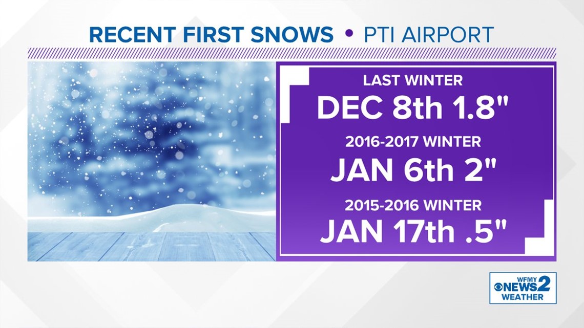
How soon is early December for a first snow of the season? Well, consider last year, when Greensboro's first snowfall came on Dec. 8.


Winter begins on Dec. 21 in 2018.
► Make it easy to keep up to date with more stories like this. Download the WFMY News 2 App: Apple Users, Android Users

