GREENSBORO, N.C. — The threat for North Carolina is increasing with Dorian, especially at the beaches. A track right along the coastal areas of North & South Carolina is most likely, but what are some other possibilities for here in the Piedmont?
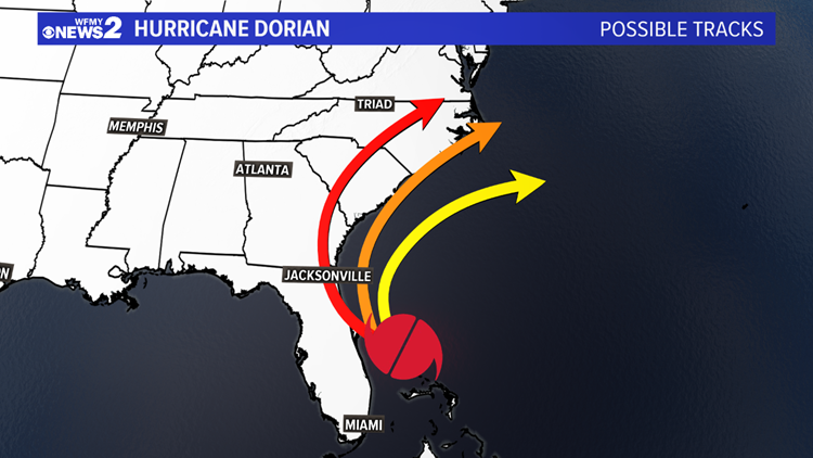
There are three main scenarios of tracks that could play out.
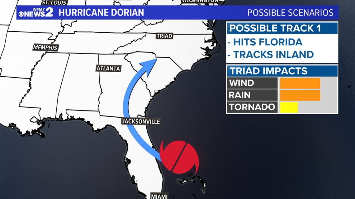
TRACK 1: Dorian hits Florida and moves inland as it heads north
- This would bring more wind/rain & concern here in the Triad.


TRACK 2: Dorian hugs the Southeast U.S. Coast all the way from Florida to N.C.
- This would be worst for the coast, with high wind/rain/surf impacts. Less of an impact here in the Triad with lower rain / less wind


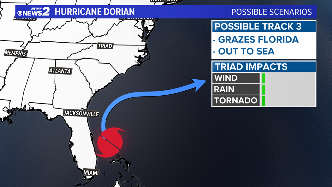
TRACK 3: Dorian curves farther east and misses us "out to sea"
- This would be best for everybody. The Triad would have no impacts.


Right now, track #2 appears most likely, hugging the coast with big impacts at the beaches and lower impacts in the Piedmont. We will keep you updated as the storm evolves.
TIMEFRAME: No matter what impacts we see, we won't see anything until Wednesday at the earliest, more likely Thursday & Friday.


Download the WFMY News 2 iPhone app
Download the WFMY News 2 Android app


