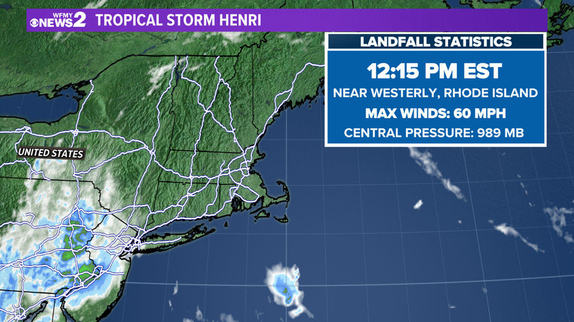
GREENSBORO, N.C. — The Atlantic hurricane season is nearing its peak of the season, so activity is remaining busier than compared to July. Henri has continued to weaken to a tropical depression through Sunday evening. Henri made landfall near Westerly, Rhode Island at 12:15 pm with maximum sustained winds of 60 mph. Fortunately, Henri made landfall as a tropical storm after quickly downgrading from a Category 1 late Saturday night. The storm will continue to weaken as it tracks through New England tonight and Monday but the heavy rain will continue. Storm surge, and a few tornadoes are also a concern.


RELATED: More heat Saturday, afternoon storms
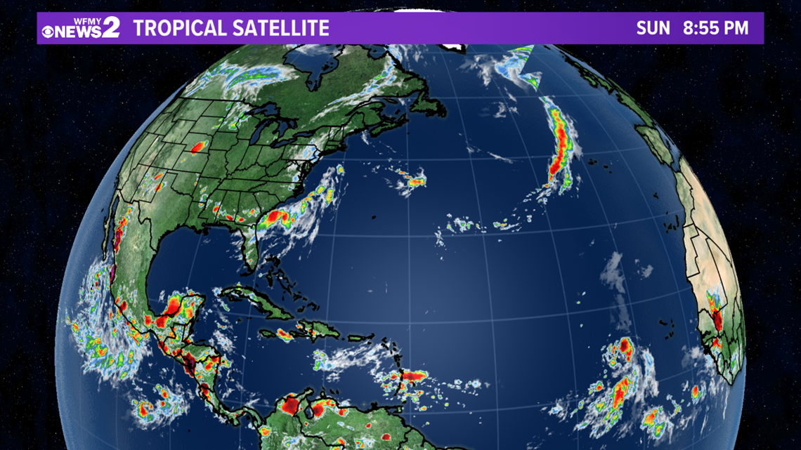
The current National Hurricane Center forecast for Henri has it continuing to take northeastern curve towards southern Canada. Elsewhere, there are no other active systems.


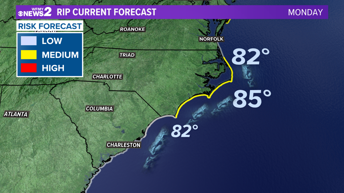
There were no direct impacts related to Henri around the Triad; however, the Carolina coast is still dealing with rough surf conditions due to the large swells produced by Henri. The National Weather Service Office in Wilmington reported 50 rip current rescues on Friday. Dangerous rip currents remain for northeastern North Carolina and coastlines extending further northward. As Henri continues to travel northward, conditions will improve along the coast.


Henri is our 8th named storm of the year in the Atlantic; quickly forming just behind Grace as the second hurricane of the 2021 Atlantic hurricane season. Grace was the first major hurricane of the season and made landfall as a Category 3 hurricane in Mexico early Saturday.
As expected, the tropics have quickly gotten a bit busier as we've entered August, which is typical. Our busiest months for tropical activity are usually August and September, so we'll be watching the motion in the ocean closely.


