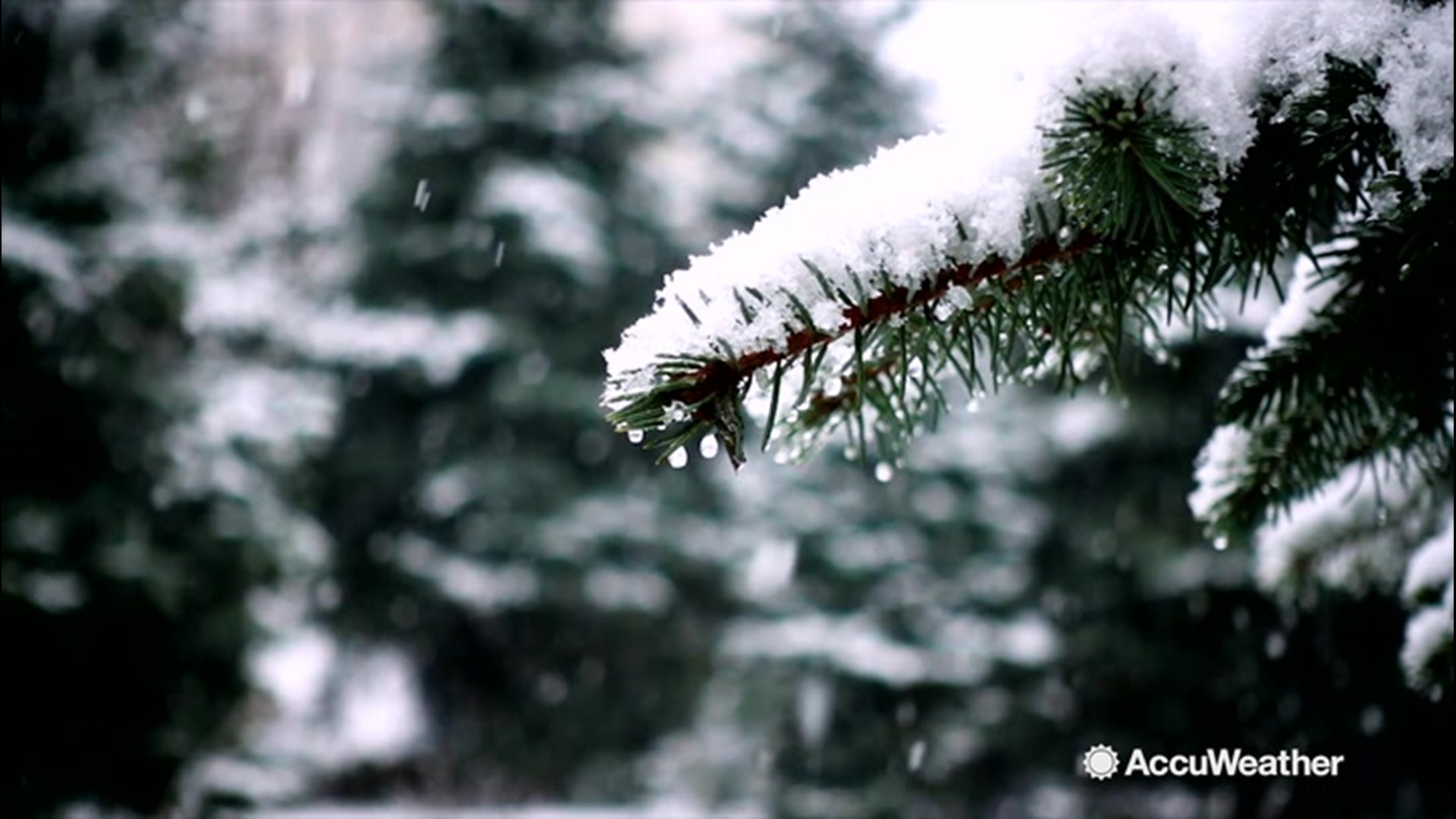
The circulation around a powerful storm producing heavy snow and blizzard conditions over the northern Plains will send the chilliest air of the season so far through much of the central United States into this weekend.

Many locations will experience their lowest temperatures since the middle of April or earlier. In many cases, the anticipated high and low temperatures will be more typical of early November rather than the middle of October.
People in Denver basked in sunshine and temperatures in the lower 80s F during Wednesday afternoon but awoke to temperatures in the upper teens on Thursday morning. The temperature plummeted more than 60 degrees in less than 24 hours. AccuWeather RealFeel® Temperatures were near zero Thursday morning while snow created slushy roads.
Frigid air will persist in Denver into the weekend, where the predicted low of 14 on Friday night is likely to shatter the old record of 22 set back in 1946.
Temperatures will bottom out in the teens over much of the northern and central Rockies and High Plains during Thursday night. Enough wind will stir in these areas to allow RealFeel Temperatures to dip into the single digits and perhaps even near zero at times.
"Within the snow area through Friday night, it will feel more like late November, factoring in winds," Brett Anderson, AccuWeather senior meteorologist, said.
"RealFeel® Temperatures in the core of the storm over the Dakotas will be in the single digits and lower teens," Anderson said.

While snow will not advance very far across the central and southern Plains, colder air will.
After charging southward and eastward across the central and southern Plains into Thursday evening, the colder air will begin to make more eastward progress through Friday.

While the Front Range of the Rockies and the adjacent High Plains will likely have the most extreme temperature swing during the event, the advance of the cold air over the Plains and much cooler air over the Mississippi Valley and the Midwest may be refreshing to some but a shock to others.
Mild air and temperatures in the 60s to start the day on Friday won't last long in Chicago. Afternoon temperatures are forecast to fall into the 40s.

Following a high in the lower 90s on Thursday, temperatures may be no higher than 60 on some thermometers on Friday in Dallas.
Actual temperatures are forecast to dip to freezing in Omaha, Nebraska, Topeka and Wichita, Kansas, and Oklahoma City during Friday night.
The freezing air represents a challenge to farmers due to a shortened growing season caused by saturated ground and lingering flooding into the first part of the summer in the region.
On Saturday, cold air will continue to circulate around the storm over much of the North Central states.

While the chilly air is forecast to lose some of its punch traversing the Great Lakes and the Ohio and Tennessee valleys, the change will still be noticeable.
When compared to a high in the lower to middle 80s on Friday, temperatures will be slashed by 20 degrees by Saturday around Nashville.
"Temperatures are forecast to rebound quickly over the Rockies and southern Plains into this weekend," Anderson said.
"However, chilly air is likely to hang around the northern Plains and Great Lakes region," he added.

The extensive deep snowcover will play a role in the delayed warmup over the northern Plains.
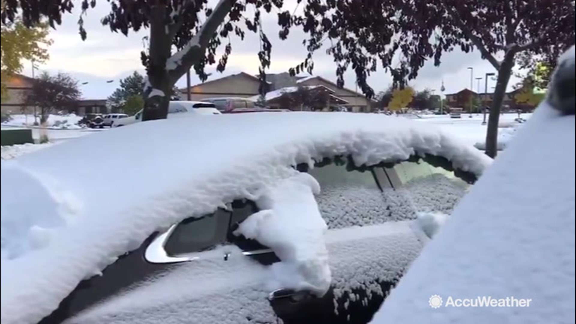
Related video: Cars buried in snow after winter storm in Autumn.


