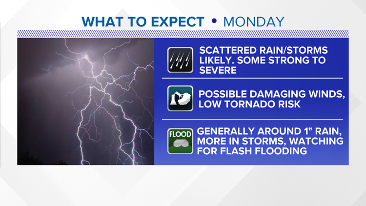
GREENSBORO, N.C. — The break from rain and some of the humidity is quickly going away heading into Monday. We'll need to pay close attention for storms that could be strong to severe throughout the day.
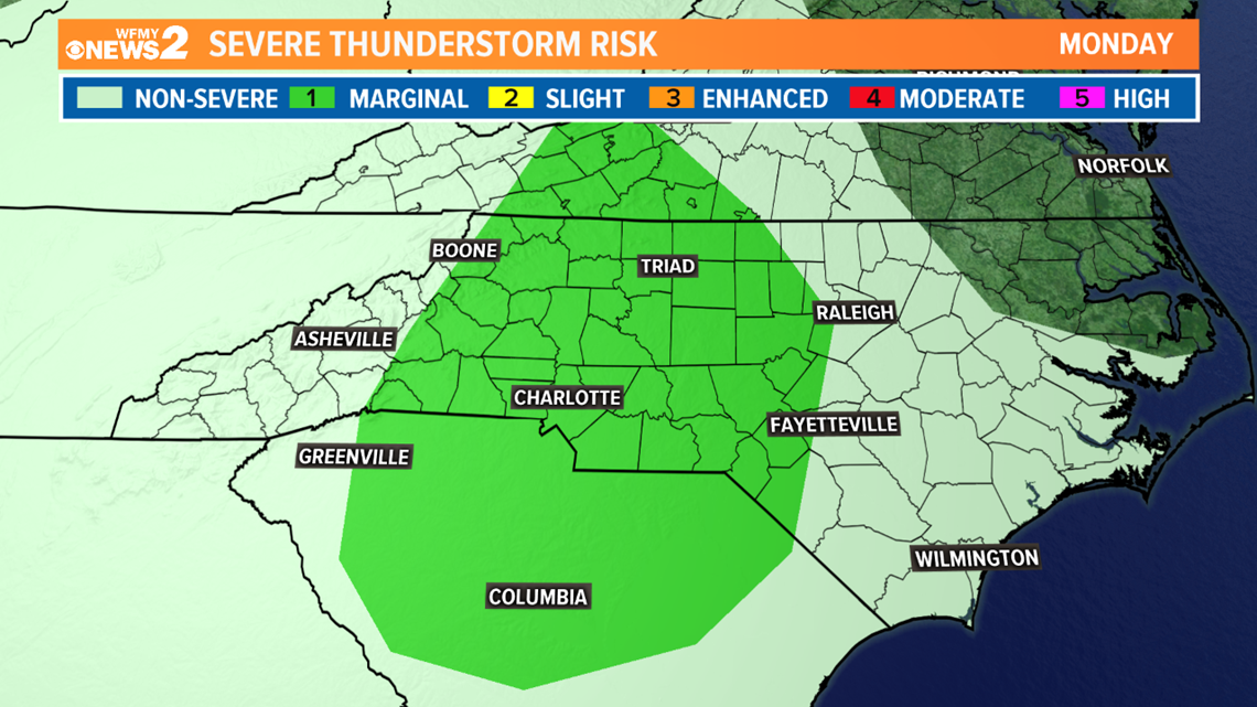
The cold front that brought us the drier air on Sunday is beginning to lift back to the north and will stall out across our area. At the same time an upper level disturbance will pass overhead. These things combined will bring us scattered rain and some storms Monday. We're currently in a level 1 out of 5 for severe storms.

RELATED: Rain, storms return Monday
TIMING:
Storms will be possible at any time throughout the day from day break through the evening hours. After the sun goes down thunderstorm activity should diminish heading into the overnight hours.
IMPACTS:
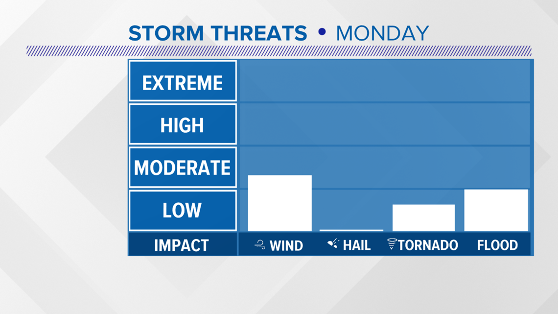
Our main concern will be for damaging wind gusts in any storms that get strong but we also will have a low risk of a brief tornado or two across the area. It's not a guarantee but the ingredients could be there. We'll also need to watch for flash flooding where heavy rain sets up in storms.

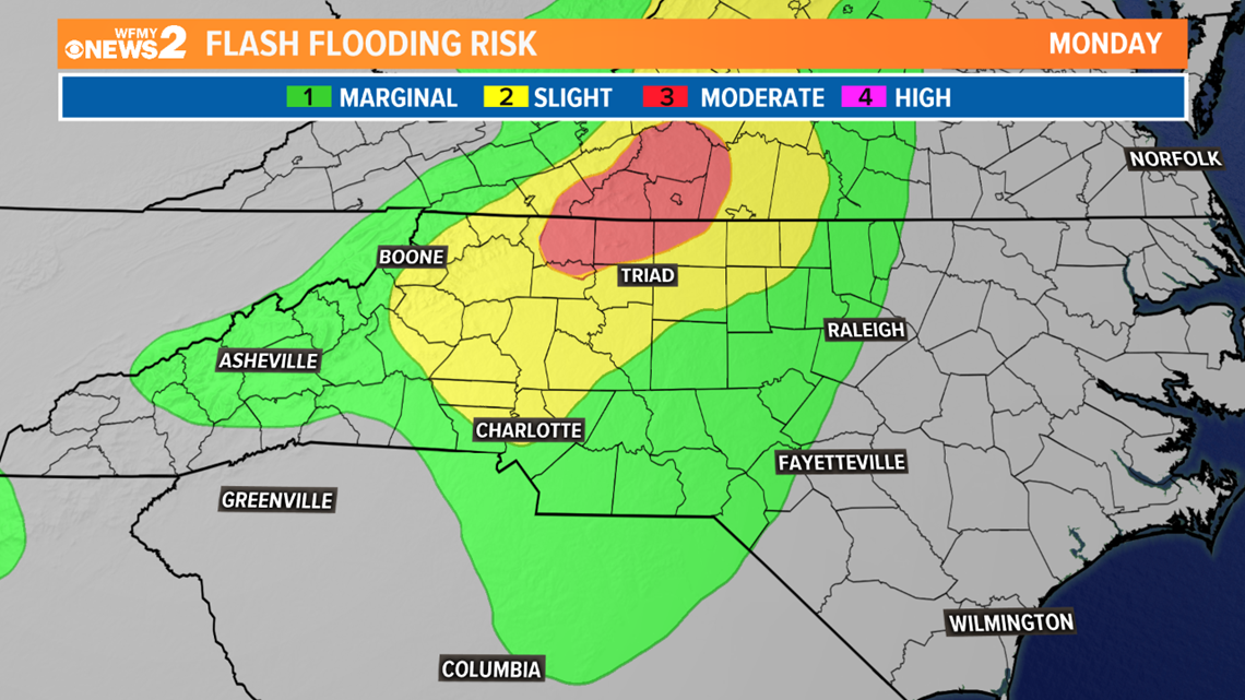
With ample amounts of moisture in the atmosphere and streaming into the area, some storms could produce heavy rain, too. We have a pretty significant flash flood risk for the Triad, with some extra concern for places to our west and in the Foothills that are more prone to flash flooding.

Keep check on your News 2 Radar App throughout the day for your daily commutes and routines. Showers and storms will be scattered throughout the day. Most of the area could pick up around 1" of rain with higher totals likely where heavy thunderstorms set up.
Stay weather aware on Monday. Our News 2 Weather Team will be on top of everything and tracking it for you on air and online.


